
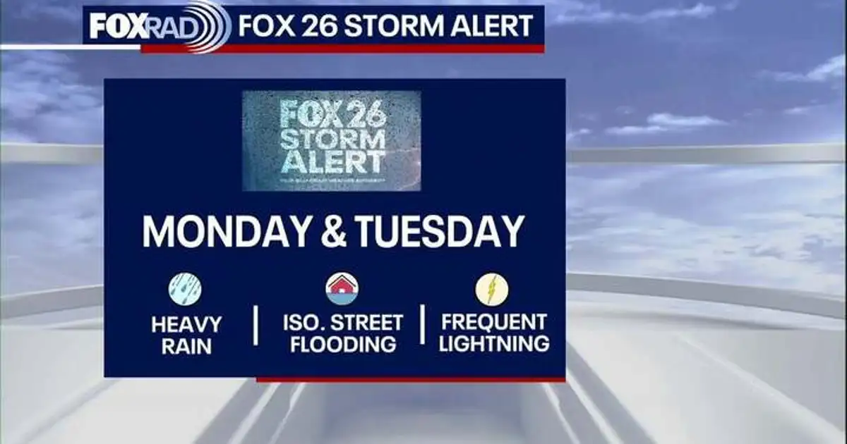
HOUSTON – FOX 26’s Storm Alert has been extended to go through Tuesday due to an increased flood risk.
Read more Dallas Stadium prepares for France vs Spain World Cup Semifinal match
FOX 26 Storm Alert
Multiple rounds of heavy downpours will be moving across Southeast Texas to start the workweek.
Folks around Houston should stay weather aware on Monday as street flooding will be expected in low-lying and poor drainage areas.
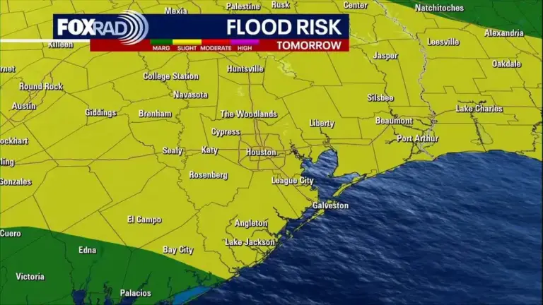
The flood threat continues as rounds of showers and thunderstorms move through Tuesday. Street flooding will again be possible. Rain will not fall nonstop, but repeated downpours could bring localized flooding in spots.
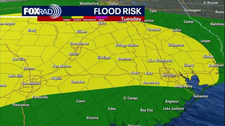
The Weather Prediction Center currently has most of the FOX26 area at a 2/4 risk for excessive rainfall Monday and Tuesday.
Tropical moisture moves in
Deeper Gulf moisture lingers over Southeast Texas to start the week.
A stalling front to our north helps pile up this rain-soaking situation for several days. So expect more clouds and higher rain chances, helping to keep the temperatures slightly below seasonal averages.
Read more Hilary Duff fans get into fight during ‘Lizzie McGuire’ star’s Los Angeles concert
Toward the end of the week, things start to dry out and the skies clear. The mid-90s return to the forecast to start next weekend.
Tropics quiet for now
El Niño & Saharan dust are keeping the tropics mainly quiet with high levels of wind shear & dry, dusty air.
It is very difficult for any tropical system to develop at this point. For that reason, the National Hurricane Center keeps things quiet for the next seven days across the Atlantic Ocean, Caribbean Sea and the Gulf.
However, we don’t get to the peak of hurricane season until September 10th, and it doesn’t end until the end of November. So stay alert even when things are quiet!
Read more Gov. Abbott activates Texas Emergency Resources ahead of flash flood threat