HOUSTON – We’re monitoring some activity in the Gulf that could bring some heavy rain in the new week.
Read more Man shot in Brays Oaks after arguing with suspect
Hot weekend ahead
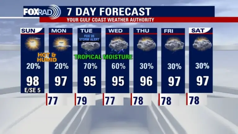
The weekend stays steamy, with highs in the upper 90s and heat index values above 100°.
Afternoon highs will be well above our seasonal average of 93 degrees.
Isolated storms possible
Isolated showers and storms are possible, especially closer to the coast, but most of the weekend looks rain-free.
At this time, we won’t rule out a brief heavy downpour or lightning strike.
Low pressure in the Gulf
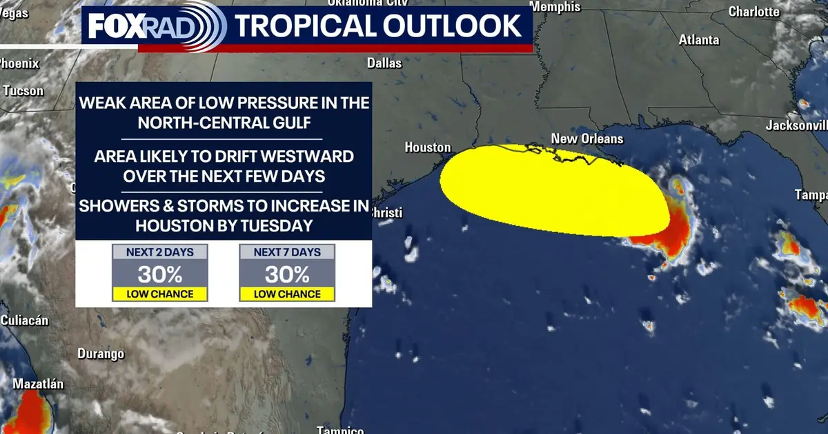
We are monitoring an area of low pressure in the north-central Gulf. It will drift westward over the next few days.
Read more I-45 road rage driver shoots at vehicle carrying toddler near Greenspoint
Houston will be watching this closely as we will likely see an increase in showers and storms by Tuesday/ Wednesday.
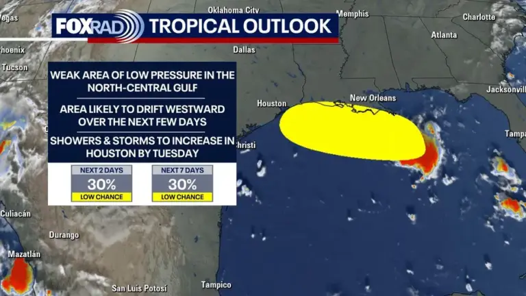
The NHC is calling this Invest 97-L and is giving it a 30% for development over the next few days. Regardless of if it becomes a named storm or not, we will likely get heavy rain.
Read more US-Mexico trade negotiations hung up by cheese name dispute
MORE: Invest 97L in Gulf among 2 tropical disturbances being tracked this week
7-Day Forecast