
HOUSTON – Highs climbed into the low to mid 90s today with steamy humidity all across the area.
Read more Houston mayor says ICE is out of control, states all Houstonians should be concerned
Spotty Friday storms
Spotty storms developed with brief heavy downpours. Most storms should move quickly enough that flooding is less of a concern.
Storms should be winding down by sunset, which means drier weather for your Friday night plans.
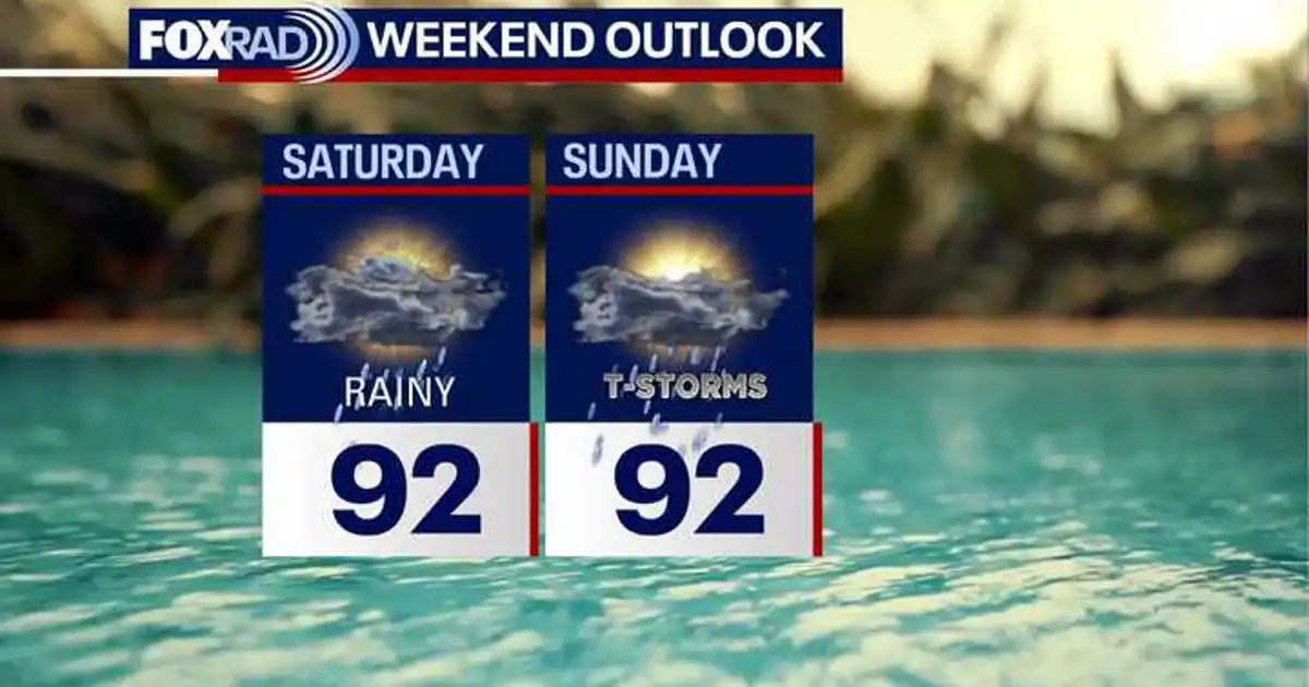
Tropical moisture moves in
Deeper Gulf moisture keeps pouring in this weekend, so expect more clouds and higher rain chances.
Rain coverage should increase compared to Friday along with the chance for heavier rain.
Read more Tennessee double-homicide suspect arrested by Border Patrol in Texas
Daily downpours ahead
Expect a round of showers and thunderstorms Saturday through Tuesday.
Rain will not fall nonstop, but repeated downpours could bring localized street flooding in spots. For now, models are indicating that highest risk for heavy rain on Monday.
Tropics quiet for now
El Niño and Saharan dust are keeping the tropics mainly quiet with high levels of wind shear and dry, dusty air. It is very difficult for any tropical system to develop at this point. For that reason, the National Hurricane Center keeps things quiet for the next 7 days across the Atlantic Ocean, Caribbean Sea and Gulf of America.
However, we don’t get to the peak of hurricane season until September 10th, and it doesn’t end until the end of November. So stay alert even when things are quiet.
Read more Consumers shouldn’t expect prices to fall anytime soon, top economist warns