NICE START TO THE WEEKEND
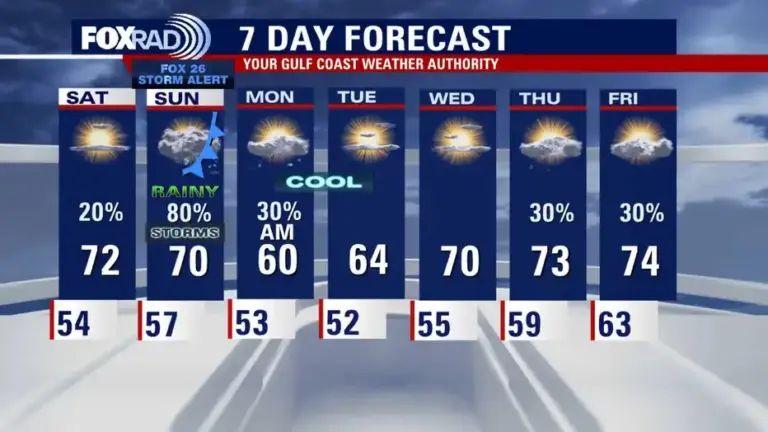
HOUSTON – The rest of Friday looks dry and pleasant, with a cool night in the 50s. Some cities mainly north of Houston will dip into the 40s so grab a light jacket for early morning hours. Saturday starts off sunny, with temperatures climbing to the low 70s by the afternoon. Look for clouds getting thicker Saturday evening, with a few showers possible late.
Read more Legal analyst breaks down evidence in deadly Galveston cruise ship murder case
SUNDAY FOX 26 STORM ALERT
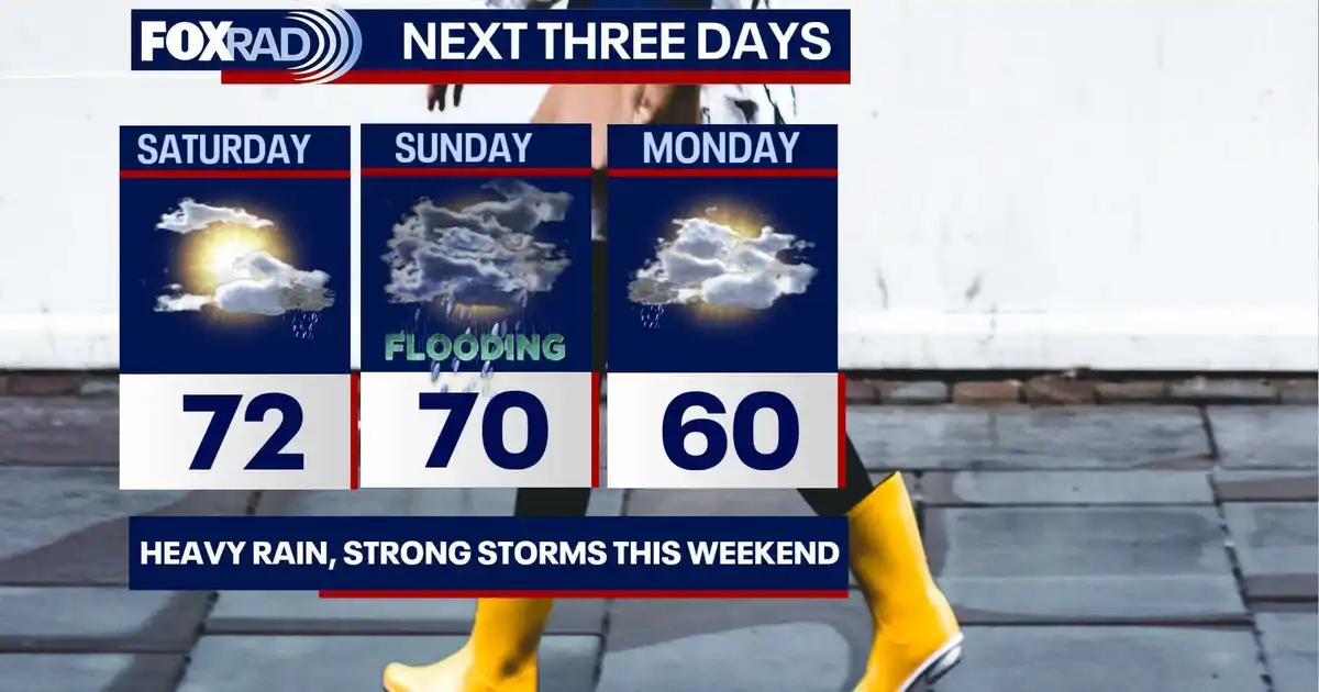
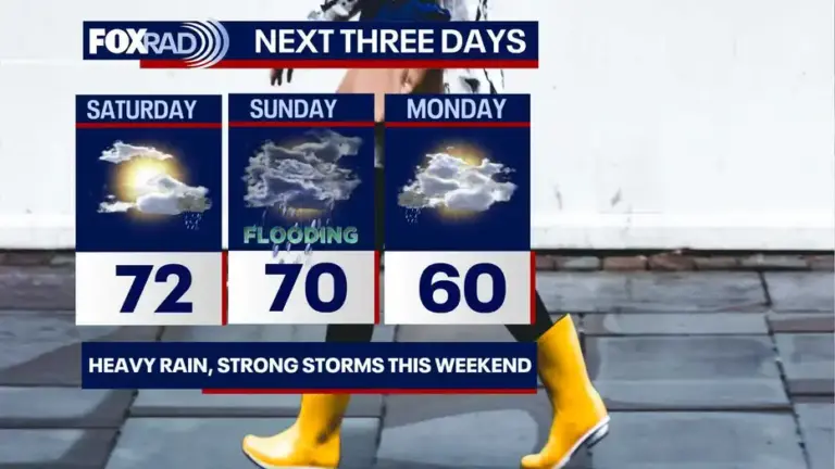
More widespread rain and storms are likely much of Sunday as another cold front moves toward Southeast Texas. The timing is still uncertain, but expect the chance for downpours to possibly impact your weekend plans. Southeast Texas is also under a 1/4 risk for street flooding on Sunday. We could see 2-4″ of localized heavy rain. There is also a 1/5 risk for a strong to severe thunderstorm or two.
Read more Montgomery County authorities arrest man for shots fired on I-45
COOLER NEXT WEEK BEHIND SUNDAY’S FRONT
By Monday morning, temperatures will once again take a dip into the 50s, with highs only around 60 Monday afternoon. Rain should quickly move out by early Monday making way for a mostly dry day. Temperatures will also stay on the chilly side for Tuesday morning with lows in the 40s and 50s and highs in the 60s Tuesday afternoon.
Read more CLEAR Alert for missing man last seen in Spring discontinued