
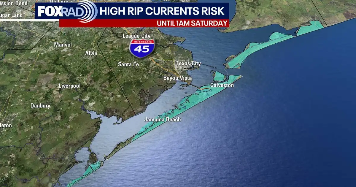
HOUSTON – While Hurricane Isaias stays well to our east, it’s bringing bigger, dangerous waves to our beaches for the weekend.
Read more Montrose coalition backs $27M street overhaul, but demands design upgrades for long-term safety
Hurricane Isaias set to make landfall tonight
Isaias became a major Category 3 hurricane this morning but dropped to Category 2 ahead of its expected landfall this evening close to Pensacola, FL.
Storm surge, heavy rain, tornadoes and strong winds are expected from Southern Mississippi and Alabama to the Florida Panhandle.
Areas from Georgia and Alabama to the Carolinas, Tennessee and as far north as New York will have a threat for heavy rain and isolated severe storms through the weekend.
Read more Hershey changes Reese’s Pumpkins packaging after lawsuit over design
Hurricane brings rip current risk to our beaches
Bigger waves from Isaias reach our beaches starting today, bringing a high rip current risk through the weekend. The surf stays rough even though the storm itself stays well to our east.
If you head to the coast, stay out of the rough surf and swim near a lifeguard.
Pleasant mornings, hot days through early next week
Locally it is looking beautiful, with pleasant mornings in the upper 60s and sunny afternoons near 90 right through early next week.
We’re looking for a possible cold front late next week, but humidity and overnight lows will increase before the front moves in.
Read more Kohberger prosecutors say no as Idaho killer tries to boot judge who called him a ‘faceless coward’