
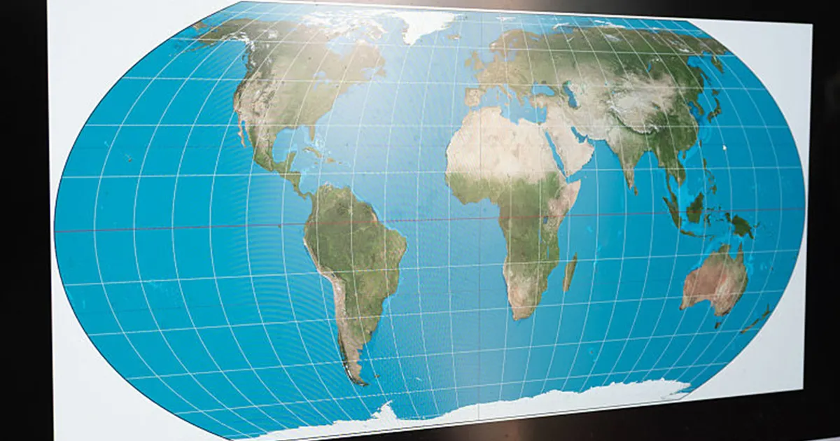
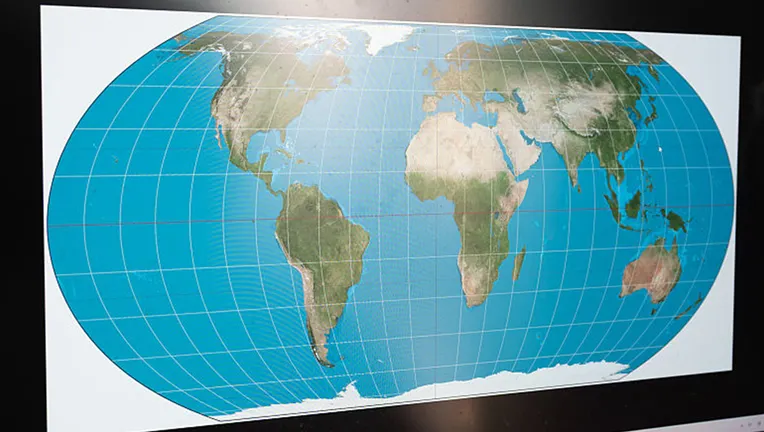
FILE – A man checks the “Equal Earth” map projection on a screen. (Photo credit should read WANG GANG/ Feature China/Future Publishing via Getty Images)
Read more Flock cameras: City of Manvel unanimously approves to remove cameras
The United Nations General Assembly backed a resolution to adopt a new world map that more accurately depicts countries’ true size.
Equal Earth projection
Dig deeper:
The Equal Earth projection portrays the size of continents more accurately compared to the Mercator projection, the map most of the world is used to seeing today.
The Mercator projection has been popular for navigation purposes, according to NPR.
The backstory:
It was designed by Flemish cartographer Gerardus Mercator to help European navigators at sea, but advocates say it distorted landmasses by enlarging regions near the poles such as North America and Greenland while shrinking Africa and South America.
The Mercator projection shows Greenland and Africa as appearing to be about the same size whereas in the Equal Earth projection that shows continents in their true proportions, Africa is 14 times larger than Greenland.
Read more Harris County commissioners advance proposed property tax increase; final vote set for Sept. 17
The resolution does not ban the Mercator projection or impose a replacement, but only encourages the use of the Equal Earth projection, the U.N. said in its report.
The vote to adopt the new map, though not legally binding in any way, came out to 164 in favor with one against and six abstentions.
The other side:
The United States was the only country to vote against it. The six countries that abstained were Serbia, Estonia, Georgia, Lithuania, Moldova and Ukraine.
The U.S. claimed the Equal Earth projection pushed an “ideological agenda” and was a distraction from “genuine problems of international peace, prosperity or good relations,” according to an official statement.
Resolution sponsored by Togo
Big picture view:
The resolution was sponsored by Togo and backed by members of the African Union.
What they’re saying:
“Maps shape our understanding of the world,” the global body quoted Togo’s Foreign Minister Robert Dussey as saying before the vote. “They guide education, nourish the imagination, and influence collective perceptions.”
Read more Houston rider speaks out after pregnant horse struck, killed by truck